
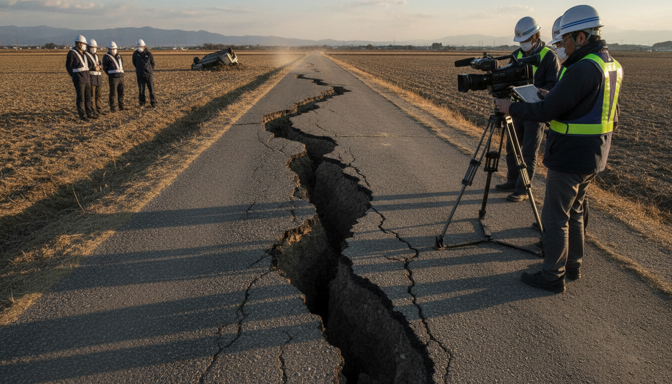
Hinagu Fault video captures moment of surface rupture during July 28, 2026 Kumamoto earthquake
Rare Hinagu Fault video captures surface rupture in Yatsushiro on July 28, 2026, providing seismologists unique data to study rupture dynamics for research.
Hinagu Fault video shows rupture unfolding in seconds
A security camera in Yatsushiro, Kumamoto Prefecture recorded the Hinagu Fault surfacing during the July 28, 2026 Kumamoto earthquake. The clip begins with the first violent shaking at about 4:27 p.m., and within roughly five seconds the ground splits and a distinct uplift occurs across a rice paddy. The rapid movement unfolds in approximately one second, allowing clear observation of how the fault rupture propagated through the shallow ground. Researchers who examined the footage say it offers an unusually direct view of near-surface fault behavior.
Where the footage was captured and what it shows
The camera was mounted on a small commercial building in Yatsushiro city, aimed over agricultural land toward residential plots. In the video, the fault trace appears to traverse the cultivated field, and land on the far side of the frame rises sharply as the rupture passes. Nearby infrastructure in the same area suffered damage consistent with lateral displacement, including fractured pavements and affected bridge supports on a local expressway. The combination of visual rupture and observable damage bolsters field observations made after the quake.
University researchers verify and analyze the clip
Associate Professor Ryosuke Ando of the University of Tokyo, who specializes in earthquake physics, received the original file directly from the store owner and has been leading measurements at the site. Ando’s team compared the timing of the visual rupture with seismic records and on-the-ground offset measurements to estimate slip and rupture speed. Early analysis indicates a very rapid shallow slip concentrated along a discrete trace, information that is difficult to obtain from seismographs alone. The researchers emphasize that time-stamped video provides complementary constraints that improve models of how faults break the surface.
Local damage patterns linked to the surface rupture
Field crews documented clear offsets in rice paddies, cracked earth, and deformed road surfaces near the camera’s location, matching the video’s visible displacements. Officials reported damage to a number of structures and to highway bridge components in the same sector, consistent with lateral and vertical movements recorded on the footage. Residents described sudden ground upheaval and brief, intense shaking that preceded collapse in some engineered elements. Emergency responders used rapid reconnaissance informed by these observations to prioritize inspections of bridges and lifelines.
Rarity of direct video evidence and scientific importance
Seismologists note that video capturing the exact moment a fault reaches the surface is exceptionally rare; this clip is only the second publicly known recording of such an event worldwide. That scarcity makes the Hinagu Fault video particularly valuable for calibrating numerical rupture models and for validating predictions of surface rupture hazards. Visual records let scientists check assumptions about how slip partitions between deep and shallow fault segments and how strain is released near the surface. Such verification can refine hazard maps and influence where stricter building standards or buffer zones are recommended.
Potential uses for disaster prevention and future research
Researchers say the footage may help improve early-warning algorithms by clarifying the sequence of ground motion immediately before surface rupture. Detailed analysis of the video, combined with seismic and geodetic data, can yield estimates of rupture velocity and the distribution of slip that are otherwise hard to obtain. Authorities could integrate these findings into mitigation planning, from retrofitting critical infrastructure to revising evacuation guidance in areas prone to surface faulting. The footage will likely be archived for use in studies, simulations, and professional training for emergency managers and engineers.
Researchers are continuing to document offsets at multiple points along the Hinagu Fault and plan to publish quantitative results once analyses are complete. Field teams will measure displacements, map the surface trace in detail, and compare geodetic recordings to the visual timeline captured by the camera. The aim is to translate the visual evidence into parameters that improve both scientific understanding and practical disaster preparedness.
The video’s clarity and the corroborating field damage have drawn attention from the seismological community and local officials, who say the recording underscores the need for continued monitoring of active faults and for strengthening community resilience to surface-rupturing earthquakes.

