
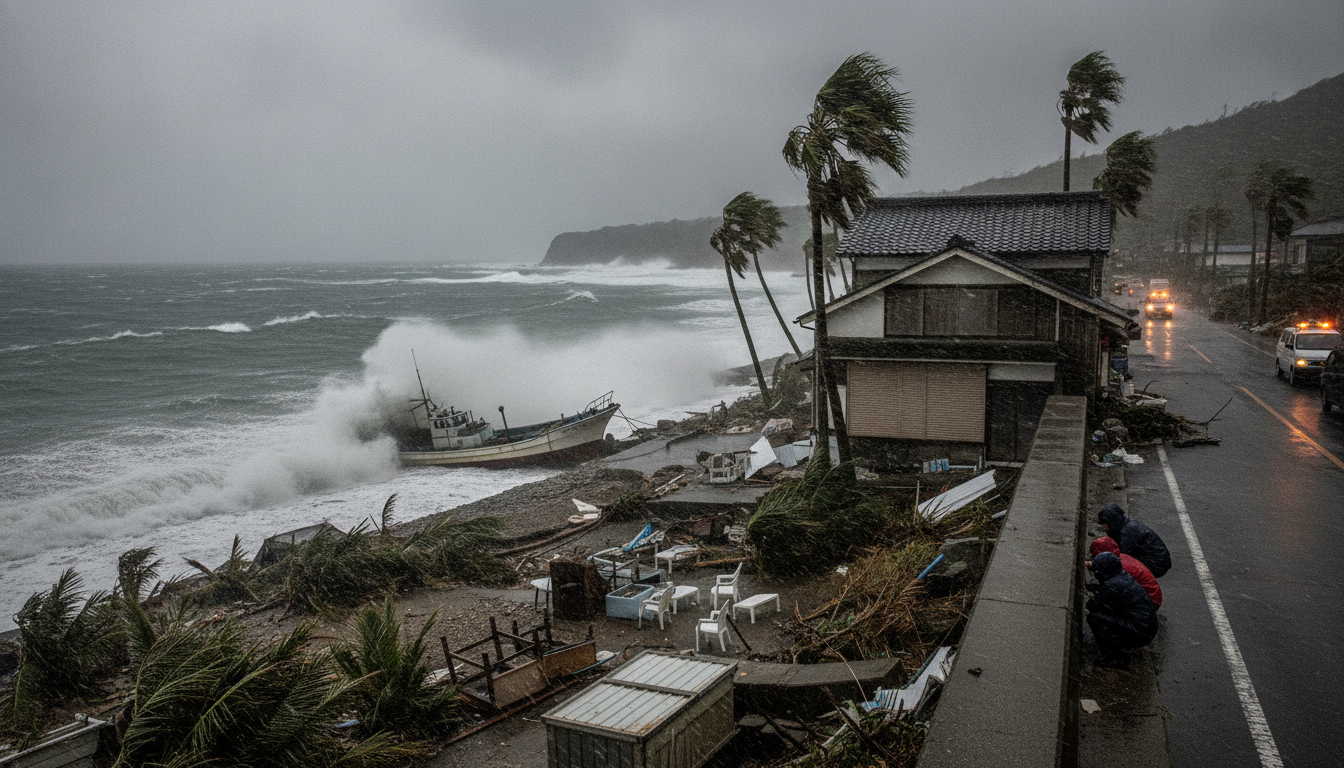
Typhoon No. 13 Strengthens Near Minamitorishima, JMA Warns Ogasawara of Approaching Storm
Typhoon No. 13 strengthened near Minamitorishima on Aug. 1, 2026; JMA warns Ogasawara Islands to expect strong winds, high seas and a possible approach.
Typhoon No. 13 intensified to a "very strong" classification early on August 1, 2026, the Japan Meteorological Agency reported, and is tracking west-northwest toward the Ogasawara island chain. The storm was recorded near Minamitorishima at 09:00 JST with a central pressure of 925 hPa and sustained winds around 50 m/s, and the agency urged residents and mariners to follow updates. Forecasts indicate the system could bring notably stronger winds and dangerous seas to Ogasawara from August 3, with a possible close approach on August 4.
Typhoon No. 13 Intensifies to Very Strong
The Japan Meteorological Agency designated the system as Typhoon No. 13 and assessed its intensity as "very strong" at 09:00 JST on August 1, 2026. The agency’s bulletin listed a minimum central pressure of 925 hectopascals, maximum sustained winds near the center of 50 meters per second, and maximum instantaneous gusts up to 70 meters per second. These measurements place the storm among the more powerful typhoons observed in the season so far and underscore the potential for severe local impacts if the forecast track holds.
Location and Movement as of 09:00 JST, August 1, 2026
At the 09:00 JST observation on August 1, Typhoon No. 13 was located in the vicinity of Minamitorishima and moving west-northwest at roughly 20 kilometers per hour. The agency noted a continued westward component to the storm’s motion is expected over the coming days, guiding it toward the Ogasawara island group. The JMA emphasized that small shifts in the track could materially change timing and intensity for inhabited islands, making ongoing monitoring essential.
Projected Track and Timing for Ogasawara Islands (Aug 3–4)
Forecast guidance indicates winds around the Ogasawara Islands are likely to begin strengthening on or around August 3 if the storm follows the predicted center line. Models suggest the typhoon could approach Ogasawara with a storm-force wind zone on August 4, while still maintaining significant intensity. The JMA cautioned that if the center of the typhoon passes close to the islands, conditions could deteriorate rapidly, reducing lead time for response actions.
Wind, Pressure and Sea Condition Expectations
With a central pressure of 925 hPa and sustained winds of about 50 m/s (approximately 180 km/h), Typhoon No. 13 is expected to generate very strong gale and storm conditions across its wind field. Maximum instantaneous gusts reaching about 70 m/s translate to extreme wind speeds approaching 250 km/h in localized bursts. Mariners should expect high waves and very rough seas, and coastal areas of Ogasawara may see elevated surf, dangerous rip currents, and storm-driven inundation along exposed shorelines.
Warnings for Mariners and Residents of Ogasawara
The Japan Meteorological Agency has urged mariners to refrain from entering the sea and to heed shipping advisories as the typhoon approaches. Residents of Ogasawara are advised to secure loose outdoor items, prepare emergency supplies, and follow instructions from local authorities regarding shelter and evacuation. Given the forecast rapid intensification and approach, transport services, including ferries and flights, may be suspended or delayed in the period around August 3–4.
Local Authorities and Preparedness Measures
Local governments in the Ogasawara municipality have been put on alert and are coordinating contingency plans with prefectural agencies and the Self-Defense Forces if needed. Emergency response teams are preparing for access limitations, potential power outages, and search-and-rescue requirements that accompany severe typhoon impacts. Officials stress that residents should confirm evacuation routes and stay informed through official channels for time-sensitive guidance.
Typhoon No. 13 remains dynamic and may change speed or direction; the Japan Meteorological Agency will issue updated bulletins and warnings as new observations and model guidance become available. Residents and mariners in the Ogasawara Islands and adjacent ocean areas should monitor official JMA updates, follow local authority instructions, and take precautions to protect life and property as the situation evolves.

