
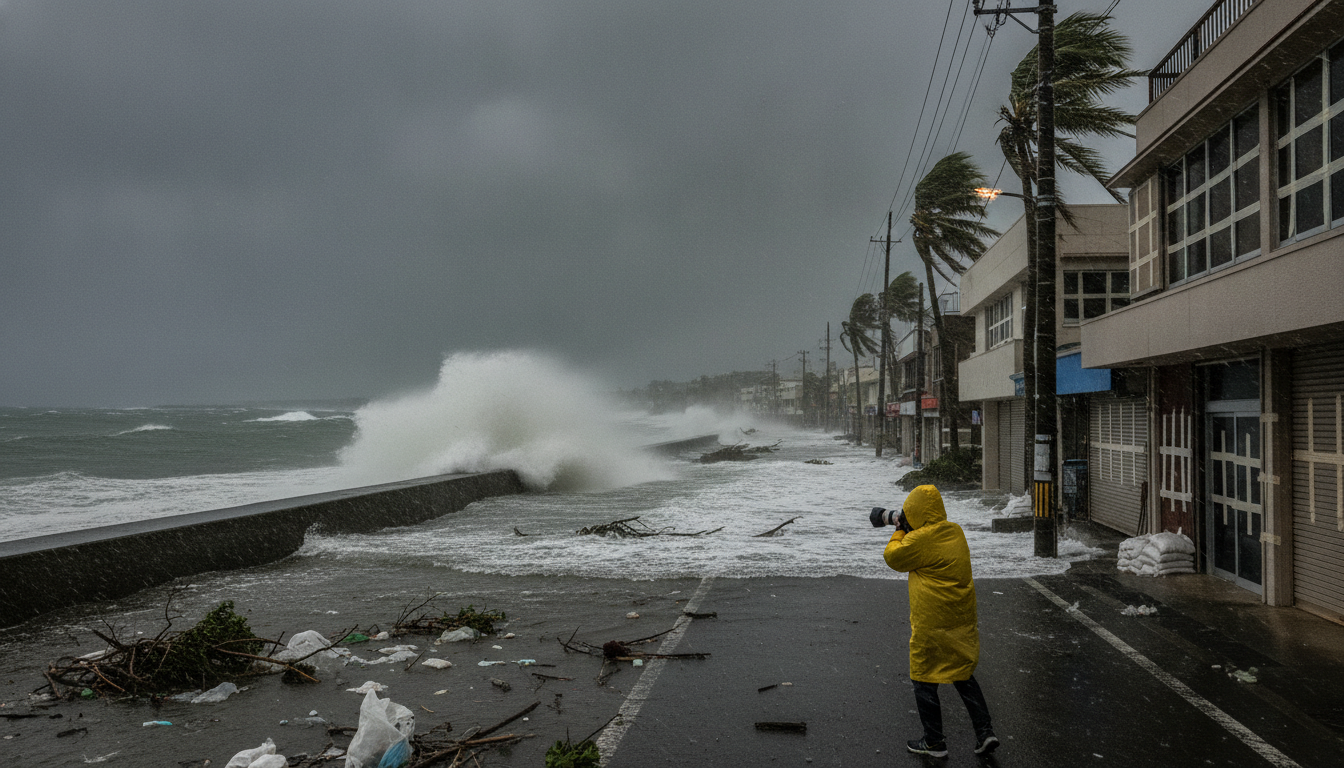
Super Typhoon No. 9 Intensifies Near Mariana Islands, Okinawa Braces for July 9–11 Impact
Super Typhoon No. 9 near the Mariana Islands (910 hPa, 55 m/s) is forecast to strengthen and turn north, threatening Okinawa and Amami with heavy seas, very strong winds and warning‑level rain from July 9–11.
Japan’s ninth typhoon of the season, identified as Super Typhoon No. 9, intensified rapidly on July 6 and was recorded at 18:00 JST with a central pressure of 910 hectopascals, maximum sustained winds of 55 metres per second and maximum gusts near 80 metres per second. The system was located well south of the Japanese archipelago near the Mariana Islands and was moving westward at that time, with the U.S. Joint Typhoon Warning Center classifying it as a “super typhoon.”
Current Status and Observations
The latest observed parameters at 18:00 on July 6 show a highly organized tropical cyclone with a very low central pressure and extreme wind speeds, indicating a mature, powerful system. Satellite imagery and analysis by international agencies confirm strong convective banding and an increasingly symmetrical eye structure consistent with its super typhoon designation. Meteorological agencies note the storm’s westward motion from the Mariana region but expect structural changes as it interacts with subtropical steering currents.
Projected Track and Okinawa Threat Window
Forecast models indicate Super Typhoon No. 9 is likely to strengthen further on July 7 before turning northward, with a potential approach to Okinawa Prefecture between Friday, July 10 and Saturday, July 11. The precise timing and track remain subject to change as the storm responds to upper‑level steering and midlatitude influences, so small shifts in the path could materially alter which islands and coastal areas face the strongest impacts. Residents and officials in Okinawa and nearby islands should treat the July 9–11 window as the critical period for direct effects.
Wind, Rain and Sea Conditions Expected
Authorities warn that Okinawa and the Amami islands can expect a rapid deterioration in marine and coastal conditions beginning around July 9, with very rough seas and large waves likely. From July 10 onward, heavy to warning‑level rainfall is forecast in parts of Okinawa, increasing the risk of flash floods, landslides in steep terrain and river inundation in low‑lying areas. Peak wind gusts onshore could approach values observed near the cyclone’s core, and localized storm surge along vulnerable coasts cannot be ruled out depending on the storm’s final approach angle.
Possible Effects on Kyushu, Shipping and Air Services
Although the primary threat is focused on Okinawa and Amami, a more eastward or westward shift in the typhoon’s track could extend hazardous seas and strong winds to southern Kyushu around July 10. Maritime operators, including passenger ferries and commercial shipping, are likely to face service suspensions or rerouting decisions, and airlines may preemptively cancel or reschedule flights serving affected islands. Ports and coastal facilities should prepare for operational disruptions and secure cargo and equipment ahead of deteriorating conditions.
Warnings and Agency Guidance
The U.S. Joint Typhoon Warning Center has labeled the system a “super typhoon,” and Japanese meteorological authorities continue to issue advisories and local warnings as forecasts are updated. Local governments are advising residents to monitor official announcements, heed evacuation orders if issued, and avoid travel to exposed coastal areas during the July 9–11 period. Emergency services and municipal authorities are on alert to coordinate sheltering, road closures and other protective measures as conditions evolve.
Community Preparedness and Safety Steps
Households in Okinawa, Amami and potentially affected parts of Kyushu should assemble emergency supplies, secure outdoor items, and plan evacuation routes now rather than later, with particular attention to persons in flood‑prone or unstable hillside locations. Charge mobile devices, prepare a supply of potable water and essential medications, and follow guidance from prefectural and municipal disaster management offices. Avoid shoreline observation of the storm, as sudden large waves and storm surge present life‑threatening hazards even when the cyclone’s center remains offshore.
Emergency management officials stress that forecasts can change; residents are urged to check official updates frequently and to treat each advisory as actionable. Continuous monitoring through prefectural emergency channels and national meteorological bulletins will provide the most current information as Super Typhoon No. 9 approaches.
Authorities and communities should remain vigilant through the July 9–11 period as the situation develops, and individuals in at‑risk areas are advised to complete preparations immediately and comply with any local evacuation or safety directives.

